中文


With the increasing attention of the whole society to environmental issues, the state's policy incline and investment in environmental protection are increasing. Environmental protection policies continue to be strengthened, and the environmental testing industry has ushered in a blowout development. However, the traditional environmental detection is not only risky and difficult, but also has an impact on the environment. The answer to this difficulty is to use advanced, reliable drones.
With the stimulation of the new market for environmental monitoring, it is no longer difficult using drone technology to efficiently collect comprehensive ecological protection area monitoring data. This can help relevant personnel to grasp the resource conditions, development status and pollution degree of the ecological reserve. With the development of environmental protection, drones will also become an important part of the new market for agriculture and forestry.
Meet the automatic operation mode, realize the real sense of intelligent unmanned inspection, driving the entire industry to automation, intelligent, large-scale development.
The UAV is fully automatic and unattended. It can plan the route, deliver the task with just one button, fly autonomously, and transmit real-time videos, photos, flight trajectories and data during the inspection.
The intelligent algorithm can identify and monitor the illegal behavior and provide the decision basis for environmental protection.
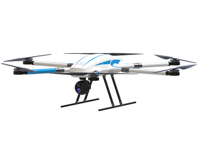
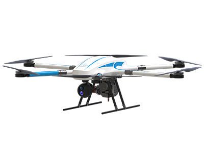
It can be equipped with a variety of payloads to collect data from multiple aspects such as visible light, infrared, gas, and multispectral.

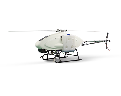
For environmental pollution monitoring, Honeycomb Aerospace launched the pollution source tracking UAV program, which can observe the atmosphere, soil, vegetation and water quality from a macro perspective, providing a basis for decision-making in environmental protection. The UAV is equipped with high-definition digital image system during the day and at night, and the aerial picture data can be sent back to the ground station receiving system in real time within a radius of 10 kilometers. The image information can be stored through the rapid picture splicing technology, and the image data can be acquired after the UAV lands, and the high-definition image generated can form the overall cognition of the large area environment. The source of pollution, pollution outlet, and visible floating objects can be intuitively identified through the high-definition image. The distribution map generated can provide decision - making basis for environmental assessment and monitoring.

In view of sudden environmental pollution, Honeycomb Aerospace launches environmental protection emergency monitoring program, which can quickly track and monitor the development of sudden environmental pollution events, timely formulate treatment measures, and reduce the loss caused by pollution. Equipped with daytime high-definition digital image system and gas online monitoring system, the UAV can cooperate with environmental law enforcement personnel to quickly carry out environmental monitoring and collect online law enforcement evidence for air pollution and obvious illegal emissions.

For water and air pollution monitoring, Honeycomb Aerospace launches the water quality monitoring UAV + air monitoring UAV program as well as the real-time online monitoring of water and gas pollution program, which can quickly, accurately and real-time monitor water and gas, greatly reducing the difficulty of environmental monitoring and obtaining evidence in time. The UAV is equipped with automatic water quality sampling system and automatic gas sampling system to cooperate with environmental law enforcement personnel to collect water samples from water bodies and gases from the atmosphere in problem areas, and collect evidence for environmental law enforcement.

Scientific monitoring of forest pests and diseases is very important to the healthy development of forestry and ecological environment in China. Honeycomb Aerospace uses a combination of satellite remote sensing and unmanned aerial vehicles ground-based IOT (video surveillance) to conduct effective early warning, monitoring and prevention of forest pests and diseases through multi-scale integration, and to achieve accurate positioning of individual trees and harmless treatment.

Scan the QR to Follow us on Wechat